Featured
Hot Tub
Bláskógabyggð, South Iceland
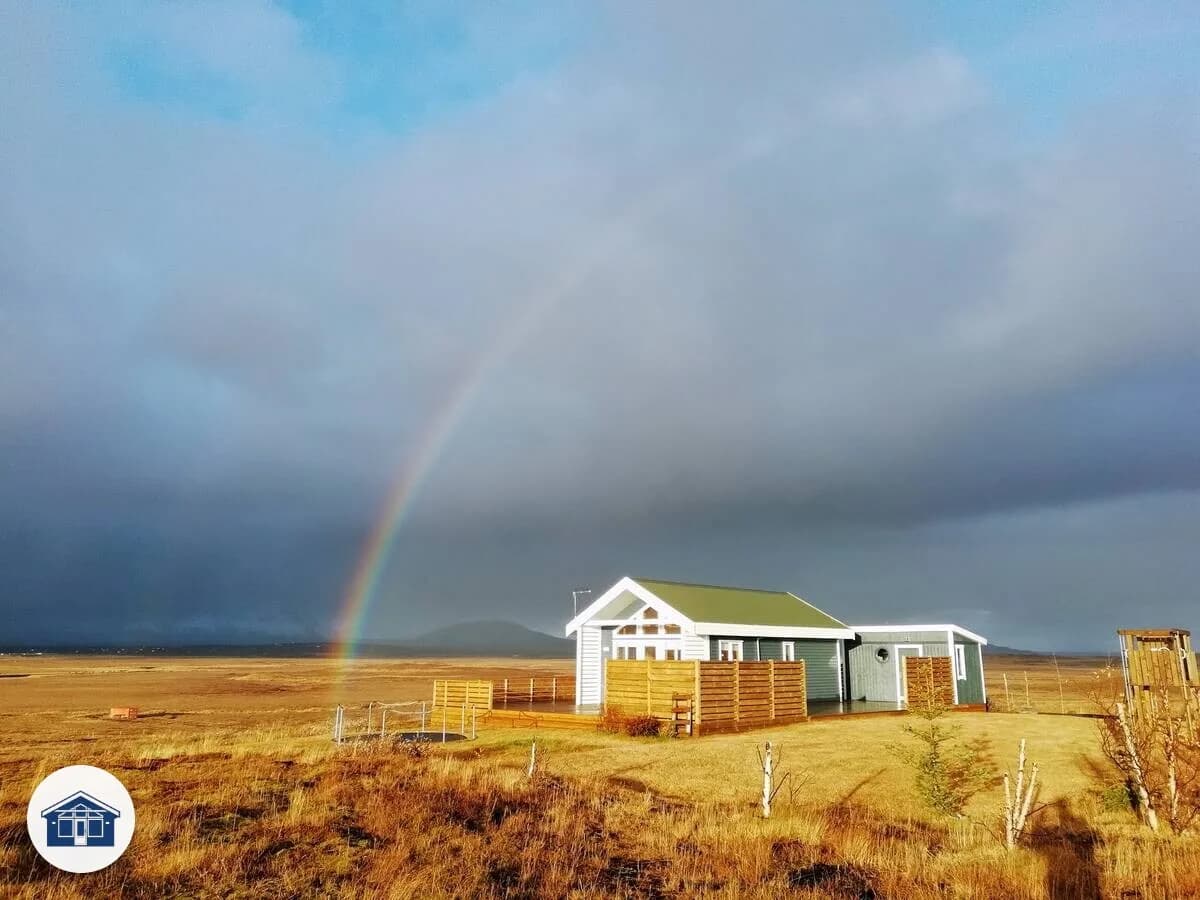
You truly are in the middle of the countryside here.
4 guests3 bedrooms1 bath
Price on request
View & Enquire
1 property available
South Iceland is the country at its most photographed, and the part most travellers actually book a house in. It runs from Þingvellir in the west, through the Golden Circle and the south coast, and out to Höfn at the foot of Vatnajökull. From a summerhouse base in this region you can be at Geysir or Gullfoss in under an hour, at Reynisfjara within two, and at the glacier lagoons in three. There is more in driving range here than any other region of Iceland.
It is also where the most damage gets done. Almost every "tourist behaving badly" story you read is set in South Iceland, because this is where most people end up. The rules are simple and worth taking seriously. Stop the car only at marked pull-ins, never on the verge. Off-road driving is illegal everywhere in Iceland and the fines are large, so if a track is not signposted as open to vehicles, do not turn onto it. Do not pick the moss. Do not build cairns. Reynisfjara has sneaker waves that have killed people in good weather, so stand back and never turn your back to the sea.
The region is long, so where you stay matters. The Golden Circle area, broadly the triangle between Þingvellir, Geysir and Selfoss, is the easiest base for a 3 to 4 night trip and keeps you within an hour of Reykjavík. Houses here have the shortest commute to Keflavík airport and put the major Golden Circle stops within reach for early-morning shoots before the buses arrive.
Around Hella and Hvolsvöllur you trade the Golden Circle for the south coast proper. Seljalandsfoss and Skógafoss are 30 to 40 minutes away, Reynisfjara around an hour. This is the right base for a "two regions in one trip" plan that combines the Golden Circle with the south coast.
Vík and the area around Kirkjubæjarklaustur put you closer to the wilder end. The drive to Jökulsárlón from Vík is around two hours, so a glacier lagoon day from here is realistic without a stupid number of hours behind the wheel. Houses around Kirkjubæjarklaustur are the closest you can sleep to the lagoons without going all the way to Höfn.
Höfn itself is at the eastern edge of the region, and the right base if your trip is built around glacier hikes, ice caves, and the lagoons rather than the headline waterfalls.
September and the first half of October give you most of the daylight, the autumn moss, and a real chance at the northern lights from any of these bases. Late June into early August is the easiest weather but the busiest roads and parking lots. November to February is dark, beautiful, and demanding. Roads close at short notice, the headline sights look extraordinary, and you should plan for at least one full day where you cannot drive anywhere. Check road.is and en.vedur.is every morning before you set off.
The biggest planning mistake is treating the south coast as a day trip from Reykjavík. The drive to Reynisfjara is two and a half hours each way before you have done anything, so if you sleep in the city, half your day is the road. Sleep in the region and the same trip becomes an unhurried morning.
The second mistake is underestimating winter wind. A summerhouse with a hot tub is wonderful in 5 m/s, miserable at 25 m/s, and dangerous to drive to at 35 m/s. The vedur.is forecast gives a colour-coded wind warning by area; trust it.
The third is the highland question. F-roads into Þórsmörk and Landmannalaugar are closed roughly October through June. If you have your heart set on the highlands you need to come in summer and have a 4x4 with proper river-fording capability, or take a Highland bus. A regular rental car on an F-road in any season is both illegal and uninsured.
This region is the easiest in Iceland to fall in love with and the easiest to over-pack. Three or four nights from a single base lets you actually breathe between drives. Five plus, split across two bases (Golden Circle, then somewhere east), lets you reach the glaciers without running.
Bláskógabyggð, South Iceland
You truly are in the middle of the countryside here.
Price on request
View & EnquireThe named places worth driving to from a summerhouse base.
One of Iceland's most iconic waterfalls, Gullfoss plunges in two stages into a rugged canyon. A cornerstone of the Golden Circle route.
The world-famous geothermal area where Strokkur erupts every 5–10 minutes, sending a column of boiling water 20–30 metres into the air.
UNESCO World Heritage Site where the North American and Eurasian tectonic plates meet. Iceland's ancient parliament, the Alþingi, was founded here in 930 AD.
A vivid volcanic crater lake with red, black, and green walls plunging into striking turquoise water. One of the lesser-known Golden Circle gems.
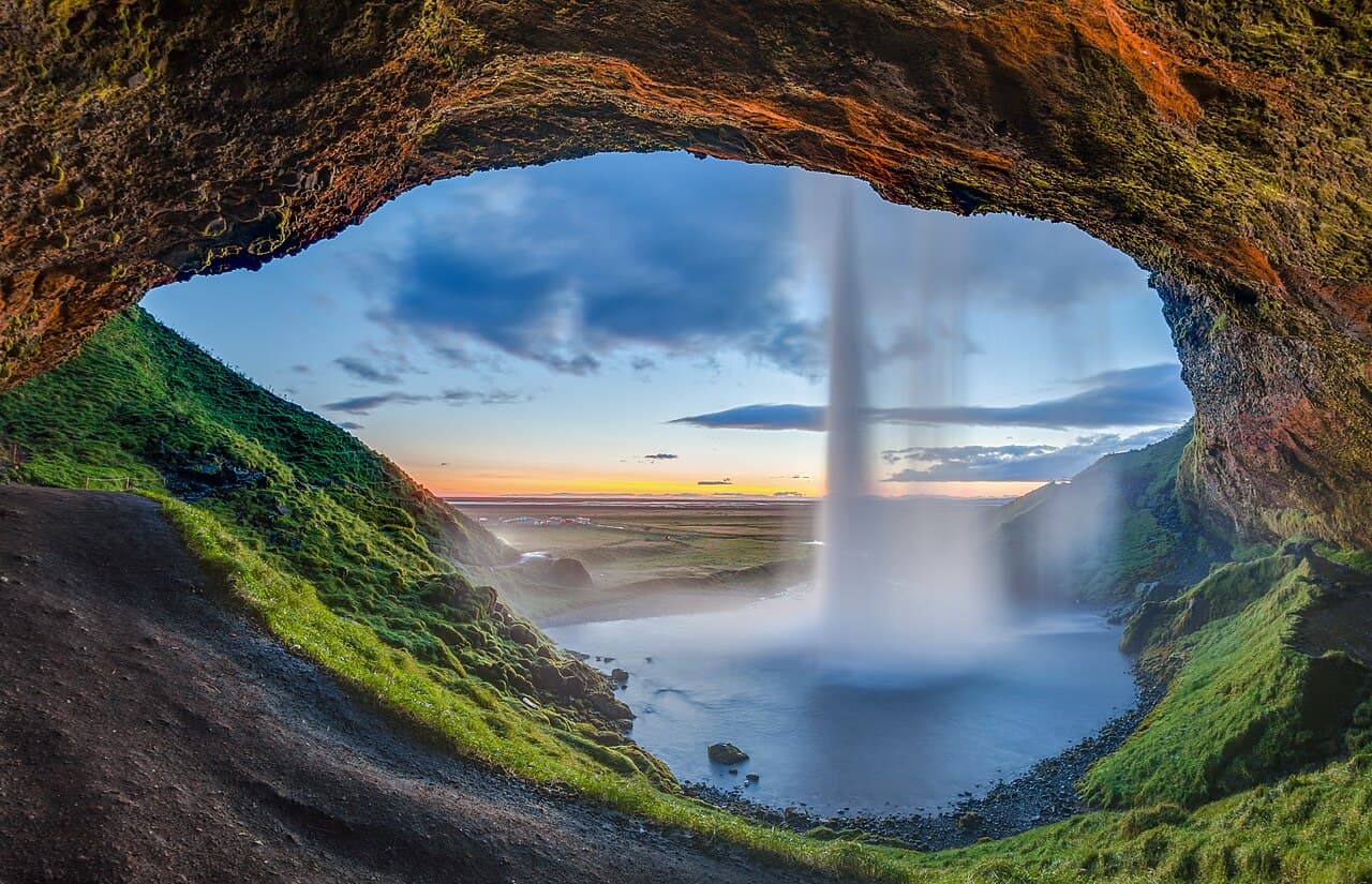
A 60-metre waterfall you can walk behind. Spectacular at any time of year, but especially magical in the midnight sun.
One of Iceland's largest waterfalls at 25 metres wide and 60 metres tall. Climb the 500+ steps to the top for sweeping views across the South Coast.
Iceland's most famous black sand beach, flanked by dramatic basalt columns and the Reynisdrangar sea stacks. Powerful waves — never turn your back to the ocean.
A breathtaking glacial lagoon filled with floating icebergs calved from Breiðamerkurjökull. Boat tours weave between the ice; the adjacent Diamond Beach glitters with ice fragments.
A black-sand beach beside Jökulsárlón where icebergs wash ashore and glitter like diamonds against the dark sand.
An ancient 2-million-year-old canyon stretching 2 km, with walls up to 100 metres high carved by the Fjaðrá river. One of Iceland's most photogenic hidden gems.
The 'Black Waterfall', cascading over a curtain of dark basalt hexagonal columns in Skaftafell. The columns are said to have inspired Hallgrímskirkja's distinctive architecture.
A stunning highland valley of rainbow-coloured rhyolite mountains, natural hot springs, and dramatic lava fields. Start of the famous Laugavegur hiking trail.
Europe's largest glacier by volume, covering 8% of Iceland. Glacier hikes, ice caves, and snowmobile tours available year-round. The national park surrounding it is vast.
A crack between the North American and Eurasian tectonic plates at Þingvellir, filled with crystal-clear glacial water. Divers and snorkellers can swim between two continents.
A 3 km hike from Hveragerði into a steaming valley where a warm river flows through the landscape. A rare chance to swim in a naturally heated river.
Practical bases for fuel, groceries, and a swim.