Book direct from the host·Hosts keep 100%·No commission, no feesBook direct · Hosts keep 100% · No fees

0 properties available
North Iceland is the country's quieter half, the side of the Ring Road most travellers run out of time to reach. It is also the side that pays you back hardest if you make it. Akureyri is the second city, the local hub, and the most reliable inland flight from Reykjavík. From there you have the Diamond Circle, the Mývatn lava fields, whale watching out of Húsavík, the Tröll Peninsula north of Akureyri, and some of the cleanest northern lights skies in the country.
The region is roughly half a day's drive from Reykjavík by Route 1, around 5 hours non-stop, but realistically a day with stops at Borgarnes and Hvammstangi. Most travellers either commit to the full Ring Road or fly directly into Akureyri, which is by far the more humane option for a 4 to 5 day trip focused on the north.
The Diamond Circle is the route that ties the region together. It runs roughly Akureyri to Goðafoss to the Mývatn lake area, then northeast to Dettifoss and Ásbyrgi, up to Húsavík, and back. Around 250 km of driving. The stops, in order of how distinctive they feel:
The full loop is doable in a single long day from Akureyri but you will be in the car the whole time. Two days, with one night in the Mývatn area, is the right pace.
Mývatn means "midge lake" and the name is honest. From late May through August the lake-edge midges fly into your eyes and mouth without biting. A head net is a few euros at any gas station and is non-optional in summer. They are gone by September.
Akureyri is the practical hub. Houses in or just outside the town give you restaurants, the open-air pool, and direct access to the Tröll Peninsula and the Diamond Circle. Reykjahlíð, on the north shore of Mývatn, puts you inside the Diamond Circle and shaves about an hour off each day's driving if your plan is centred on the lake area. For the Tröll Peninsula and Siglufjörður, base around Dalvík or Ólafsfjörður.
The north is genuinely better for the northern lights than the south on average, because of less light pollution and (counterintuitively) more clear-sky days in winter. Late September through March is aurora season, with the trade-off that some Mývatn-area roads get blown shut for a day or two at a time. Goðafoss, Dimmuborgir, the west side of Dettifoss, the Mývatn Nature Baths, and Húsavík all stay open year-round.
May through August is easy weather, midnight sun, and full access to everything including the Askja highland route. June and July are the busiest months, but the north is far less crowded than the south at any time of year.
Trying to do the Diamond Circle as a Reykjavík day trip. It is not possible. The drive from Reykjavík to Akureyri is itself most of the day. Either fly to Akureyri or commit to a multi-night base in the north.
The other mistake is skipping Húsavík because "it is just whale watching." It is also one of the most photogenic small towns in the country, has the best whale museum in Iceland, and the GeoSea baths look out over the open Arctic.
We don't have houses in North Iceland yet.
Browse all housesThe named places worth driving to from a summerhouse base.
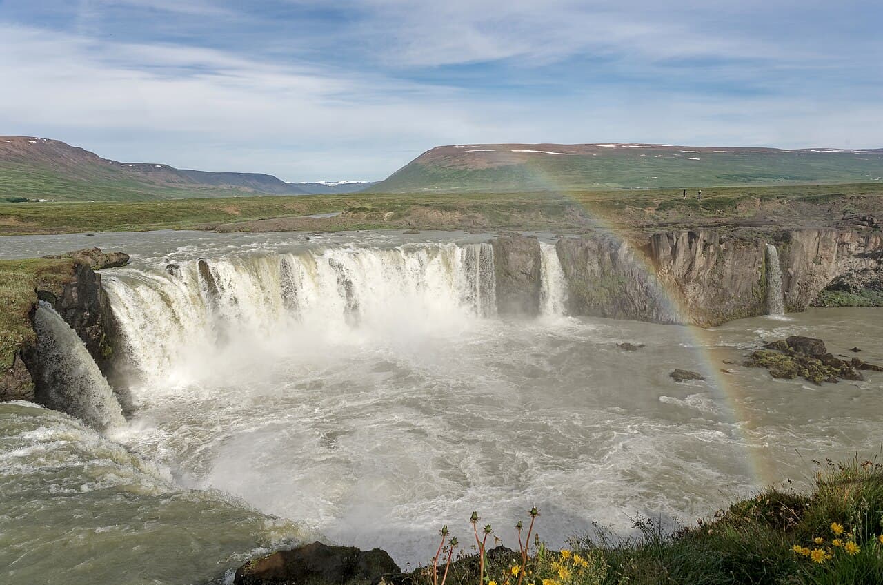
The 'Waterfall of the Gods', where Iceland's law speaker threw statues of Norse gods into the water when the country adopted Christianity in 1000 AD. Horseshoe-shaped and powerful.
A geologically rich lake region packed with lava formations, pseudo-craters, mud pools, and the Mývatn Nature Baths. Outstanding birdwatching in summer.
Europe's most powerful waterfall by volume, thundering through the wild Jökulsárgljúfur canyon. Raw and elemental — easily the most dramatic waterfall in Iceland.
Iceland's whale-watching capital, with some of the highest success rates in Europe. The charming harbour town also has Iceland's best dedicated whale museum.
Iceland's second city at the head of Eyjafjörður — Iceland's longest fjord. A great base for the north with a compact centre, botanical garden, and excellent restaurants.
A hidden gem on the Highland Road F26 — a powerful waterfall framed by perfectly geometric basalt columns. Rewards the effort to reach it.
A horseshoe-shaped canyon carved by ancient glacial floods, 3.5 km long with cliffs up to 100 metres. Norse legend says it's a hoofprint left by Odin's eight-legged horse Sleipnir.
Practical bases for fuel, groceries, and a swim.